Mississippi Falling: Now What?

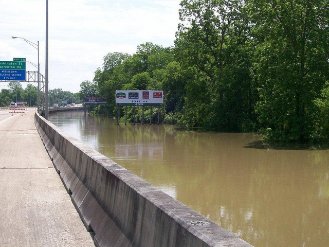
The Mississippi River lapped briefly at the edge of Interstate 20 in Vicksburg, Mississippi, and then receded. This time. (US Forest Service photo)

The historic Mississippi River flood of 2011 (or at least, of this far in 2011) is slowly receding now, and the catastrophic failure of the Old River Control Structures, that could have brought the US economy to its knees did not happen. What are we to make of this? But let us ask a different question first: instead of analyzing what did not happen, what are we to make of what did happen? Continue reading
Mississippi Rising: Is it Over Yet?

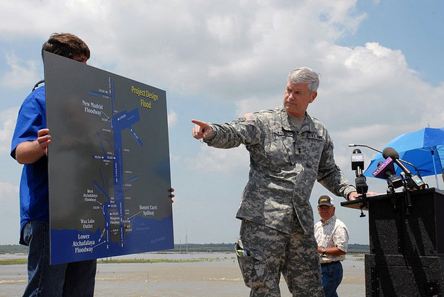
Maj. Gen. Michael Walsh, U.S. Army Corps of Engineers Mississippi Valley Division Commander, explains to the news media on May 9 what the Mississippi River will be allowed to do during the flood of 2011. As the map clearly shows, it will be permitted to move only in straight lines. (U.S. Army Corps of Engineers photo)

The headline in USA Today yesterday read: “Mississippi Flooding Redeems Army Corps.”  Also yesterday, a Daily Impact commenter (a troll with no cogent argument, so you will not read the rest of his rant here) asked: “Don’t you get tired of predicting disasters that never happen?” Hard to know where to start, but let’s try here:

  • How can the Corps be redeemed for handling an emergency that is only about halfway through its course?
  • Warning of danger, and quoting authoritative people describing what could happen, is not the same thing as “predicting disasters.”

Let’s take another look at the Mississippi situation. Continue reading

Mississippi Rising: Act of God, or of the Corps?

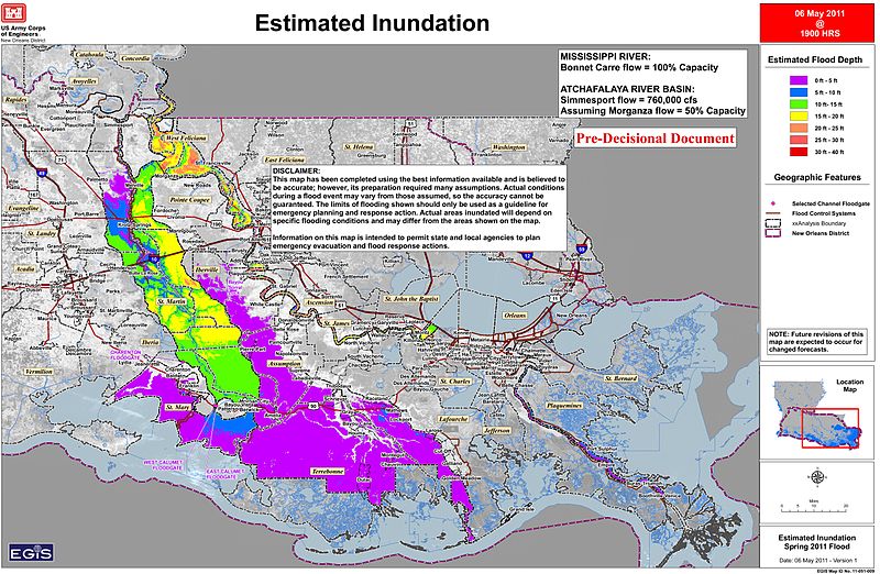
A US Army Corps of Engineers map shows the area that will be flooded when the Morganza Spillway is opened, probably tomorrow.

Long before it faced Nazi Germany, the Soviet Union, the Chinese Army in Korea, the North Vietnamese or Saddam Hussein, the US Army Corps of Engineers was at war with Mother Nature — that’s the way the Corps describes it in its publications. No battle has been more expensive, or consumed more of its energy, than its fight to control the Mississippi River. The system it has built to do this is a monument to the industrial mind-set, and a testament to the inevitable crash of industrial over-reach. Whether this is the week that this particular edifice will fall remains to be seen — and will be a very close thing. Continue reading

The Flood Last Time: Almost Apocalypse

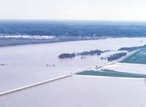
Floodwaters (right) overflow the flank of the Old River Control Structure (left foreground) during the flood of 1973.

The Mississippi flood of 1973, which is about to be eclipsed in size and duration, came within a hair’s width of changing the history of America by changing the course of the lower Mississippi River. To understand the threat posed by the gathering flood of 2011, we need to know what happened, and what almost happened, nearly 40 years ago at the Old River Control Structure.  Continue reading

Mississippi Rising: Update

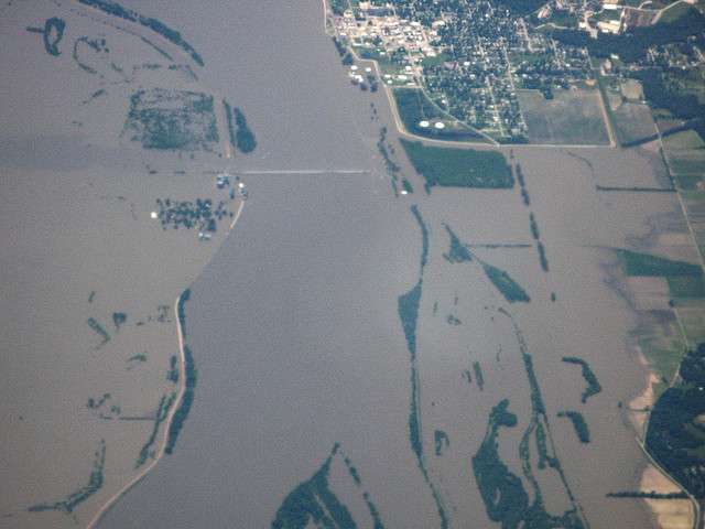
The Mississippi out of its banks in 2008, in what will seem in retrospect a minor event in comparison with the great flood coming. (Photo by Kevin Dooley/Flickr)

A surge of water greater than anything seen in nearly a hundred years is gathering in the upper Mississippi River today. It is moving slow, and will work its will on the river states during most of the month of May. If, as forecast, it crests at 53.5 feet (the height of a six-story building) above normal at Vicksburg on May 18, it will be the greatest flood seen on that river since 1927. Because it is moving slowly, its high waters will linger in some places for eight days. Continue reading

Mississippi Rising: Apocalypse Now?


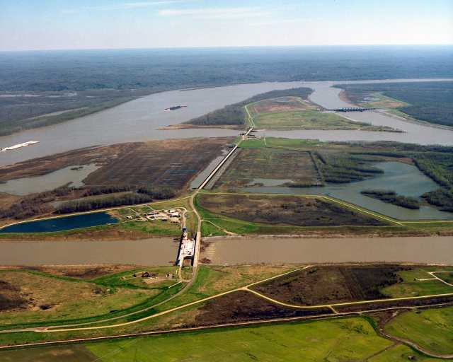
The little known Old River Control Structures (bottom center), a frail line of defense between the raging Mississippi River (top) and a total dislocation of the US economy, by way of the Atchafalaya River (bottom).

The Mississippi River, its tributaries swollen by snowmelt and stormwater, is rising toward a flood level that could equal or exceed anything in its recorded history. The threat to Cairo, Illinois — just above the confluence of the Mississippi and Ohio Rivers — is so grave that the US Army Corps of Engineers is about to blow up a levee just downstream at Bird’s Point, Missouri, to relieve the flooding in Cairo by deliberately inundating 140,000 acres of farms and towns. The emotional controversy that has arisen over this move obscures a real and rising threat to the economy of the United States. Continue reading